Combining Shapefiles
Problem: Everytime I unload GPS data from the GeoXH and post-process using Pathfinder Office it creates a new Shapefile
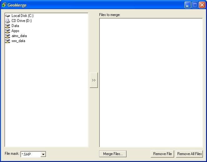
Solution: A piece of free software called GeoMerge allows you to pick any number of Shapefiles and merge them into one file
Links:
Geo Merge site
Direct download link
Solution: A piece of free software called GeoMerge allows you to pick any number of Shapefiles and merge them into one file
Links:
Geo Merge site
Direct download link
posted by Ryan Metcalf at 8:00 AM
1 comments
![]()


